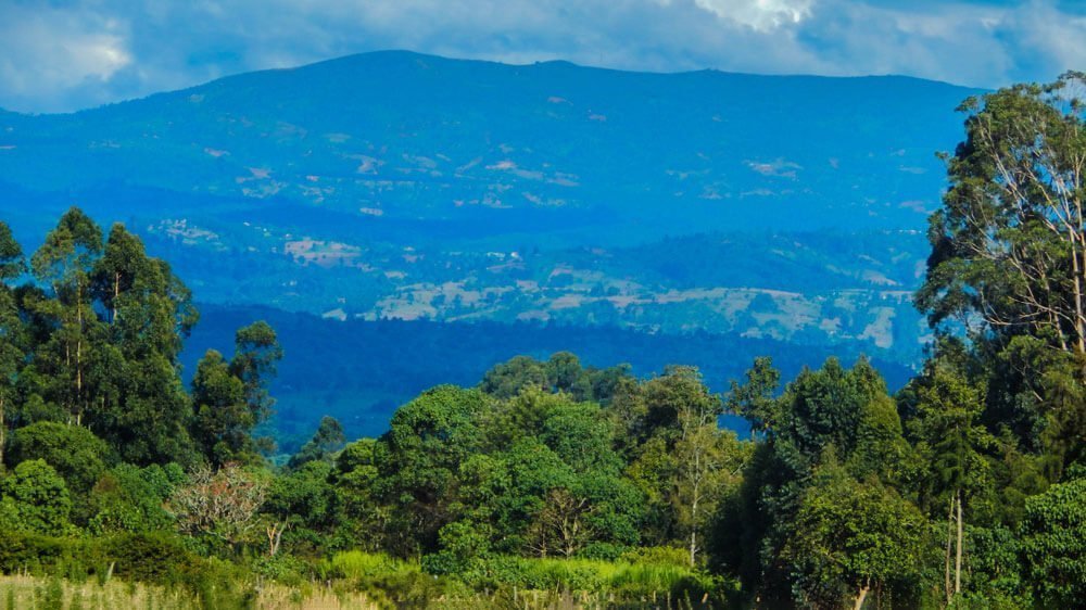
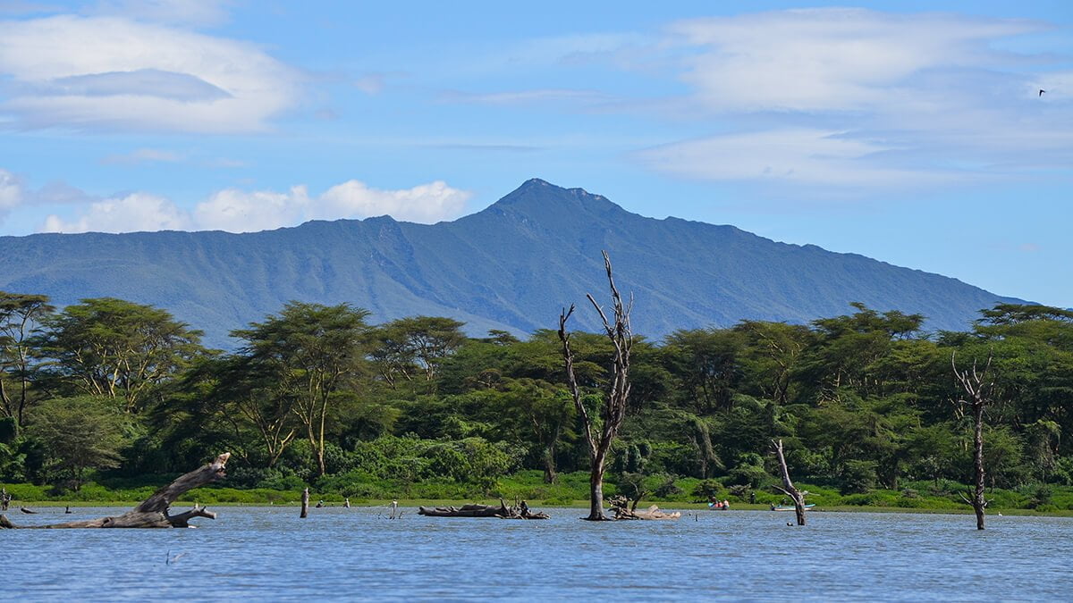
Cherangani Hills Forest is located in western Kenya, nestled within the picturesque landscapes of the Cherangani Hills, which form part of the western ridge of the East African Rift. Covering approximately 1,200 square kilometres, the forested area includes a collection of 13 distinct forest reserve blocks, which span about 956 square kilometres. These reserves serve as crucial water catchment areas for three major rivers in Kenya: the Turkwel, Kerio, and Nzoia rivers.
Key Forest Blocks
The three largest blocks—Kapkanyar, Kapolet, and Kiptaberr—constitute around 20% of the total forest area. The remaining sections of the forest are fragmented, and interspersed with bushlands, grasslands, and agricultural lands.
Forest Composition and Biodiversity
The Cherangani Hills Forest is a rich and varied ecosystem, with distinct vegetation zones depending on elevation, slope direction, and human impact.
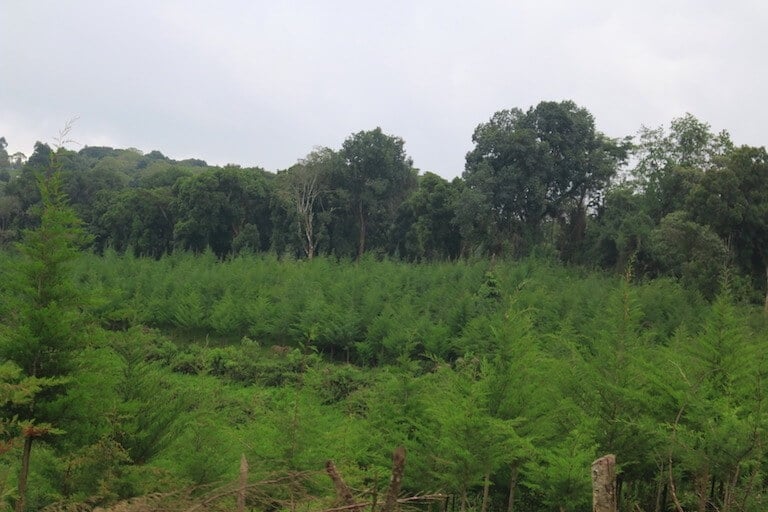
- Eastern Slopes: The eastern side of the Cherangani Hills features a mix of Juniperus-Nuxia-Podocarpus falcatus forests, especially on the south-facing slopes. Some of these areas have been heavily impacted by human activities, resulting in a patchy distribution of Podocarpus falcatus trees.
- Western Slopes: The forests on the western slopes differ significantly from the east. At lower elevations, the forest consists of Aningeria-Strombosia-Drypetes species, which gradually transition into Podocarpus latifolius forests as the elevation increases. These areas support a diverse range of flora, especially at higher elevations.
- High Valleys: In the higher valleys, you can find remnants of Juniperus-Maytenus undata-Rapanea-Hagenia forest, a unique and diverse ecosystem that has largely been undisturbed. Some stream valleys also host patches of bamboo (Arundinaria alpina), alongside tree ferns such as Cyathea manniana, adding to the area’s biodiversity.
Conservation and Human Impact
The Cherangani Hills Forest, like many of Kenya’s forests, is under increasing pressure from human activities such as agriculture, logging, and settlement. The forest plays a critical role in maintaining the local hydrological cycles, supporting the livelihoods of surrounding communities, and providing habitat for various wildlife species.
Despite the disturbances, the forest remains an essential ecological zone for water catchment, biodiversity conservation, and climate regulation in the region. Efforts to protect and restore the Cherangani Hills Forest are vital to preserving its ecological integrity and the benefits it provides to both local and downstream communities.
